
These photos were taken from 40,000′ over Labrador, Canada.
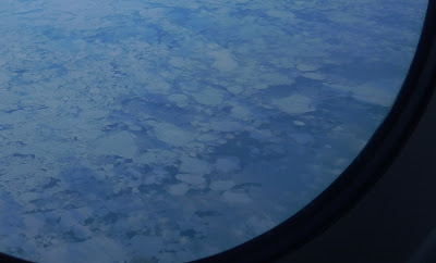
The first sight of that snow-covered, desolate land (seen through the plane window) was ice-fringed, the floes floating through a brittle skin of transparent ice …(above)
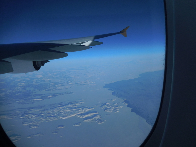
Then (below) the land itself — snow-clad outlier islands caught in a plain of ice, apparently abandoned by mankind to a cold, lonely wilderness — still wearing, though, the scoring of an ancient icy past in the form of deep scratches.
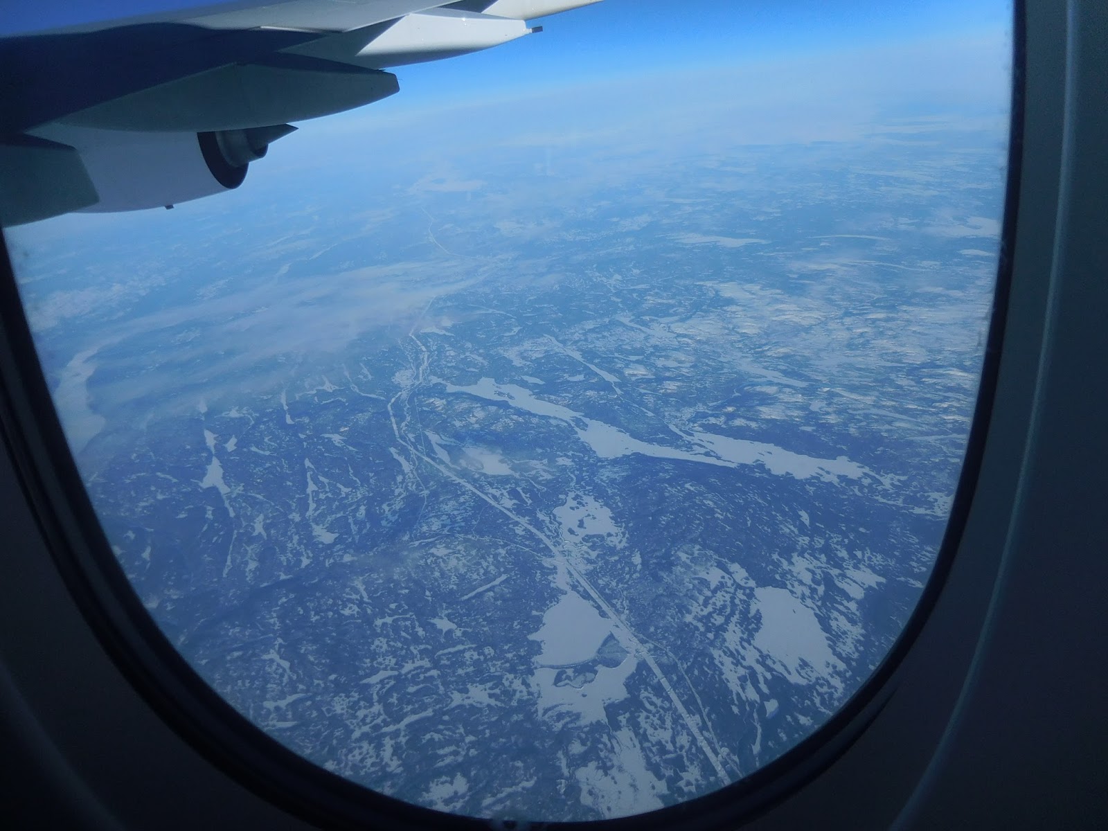
Then the first sign of mankind: a straight line, much wider that any ordinary road, blugeoned somehow through the wilderness to make a snow-filled line of epic proportions (remember, this was taken from 40,000′ up). Whatever ploughed this furrow mostly ignored the contours of the land as if oblivious to them.
Framing this gigantic ditch: scratch marks from the ancient fingernails of ice sheets and glaciers.
Finally, below, a slightly warmer sight: a flowing river not far north of the St Lawrence River.
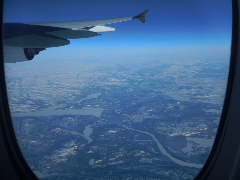
And so on, to New York.
Well, it certainly looks like an alien planet to an Australian: so much ice. Hope you are having a good time in NY.
You bet I am!